
About Fairfield City
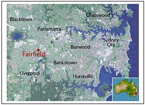 The Fairfield City Local Government Area (LGA) is located in the south west of Sydney, approximately 32 kilometres from the Sydney GPO and is bounded by Blacktown, Holroyd and Parramatta cities in the north, Bankstown City in the east, Penrith City in the west and Liverpool City in the south. Fairfield City encompasses a total land area of approximately 104 square kilometres and comprises of 27 suburbs, broadly divided into four areas by Fairfield City Council; the LGA is one of seven LGAs covered by SWSLHD.
While mainly residential, Fairfield City contains 6 industrial and business lands (829.8 hectares). These include large industrial estates at Smithfield and Wetherill Park, as well as local industrial centres. Major commercial centres are located at Fairfield and Cabramatta. Transport facilities in Fairfield City include rail and bus networks. Railway stations include Fairfield, Cabramatta and Canley Vale.
Statistics from the 2016 Census and Australian Bureau of Statistics (ABS) show the population of Fairfield LGA to be 206,270. The population is culturally and linguistically diverse (CALD) with the 2016 census indicating that more than 59% of all residents were born overseas and 70.8% of the population speaks a language other than English at home. The 5 most spoken languages other than English are Vietnamese, Arabic, Assyrian, Cantonese, and Khmer.
Fairfield City is ranked as the 4th most socioeconomic disadvantage local government area in NSW. The City is characterised by recent migrants, high unemployment and a high proportion of families dependent on welfare. For the period 2012 – 2016, Fairfield LGA had the highest number of humanitarian settlers in NSW, with the majority of these new settlers being from Iraq and Syria.
More information about Fairfield City can be sourced via the Fairfield City Council website.